• Challenge:
The city center area where many pipelines and utilities are tangled under the ground.
• Request from the customer:
Make survey reports, identify underground works (if any), provide schematics, radar images, measure and draw cross sections, provide data for the determination of underground pipelines and other works.
• Solution:
Using Ground Penetrating Radar (GPR) technology, including:
– The UtilityScan GSSI underground construction detector, using Frequency antenna to receive and analyze the 350MHz radar
– Utility data analysis software integrated on the NVIDIA SHIELD ™ Tablet controller on an Android operating system
– RADAN Analysis 7 software
• Result:
The following objects are detected:
– A drainage pipe at a depth of 1.16m, 5.65m from the starting point
– 2 Power cables, one at a depth of 0.56m, 7.87m from the starting point and one at 0.43m, 9.08m away from the starting point
– 3 Utilities: one at a depth of 0.38m, 12.3m from the starting point; one at a depth of 0.67, 11.1m from the starting point and one at a depth of 0.28m, 7.43m from the starting point.
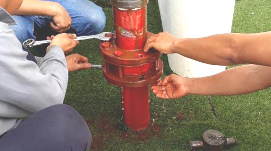
• Some photos of the process of surveying underground works


