The Cua Dat Irrigation Dam is one of the largest irrigation dams in Vietnam. Surveying and inspection of concrete works is carried out by the Geophysical Applied Research Department – Institute of Ecology and Building Protection.
PROJECT:
VUCICO supported the survey of the concrete dam of the Cua Dat Reservoir This reservoir was built from 2004 to 2009, locates upstream of the Chu River and contributes to flood control and ensures adequate water supply for agriculture, domestic and industrial purposes. The dam has a length of 1023 m and a maximum height of 119 m.
SURVEY PROCESS:
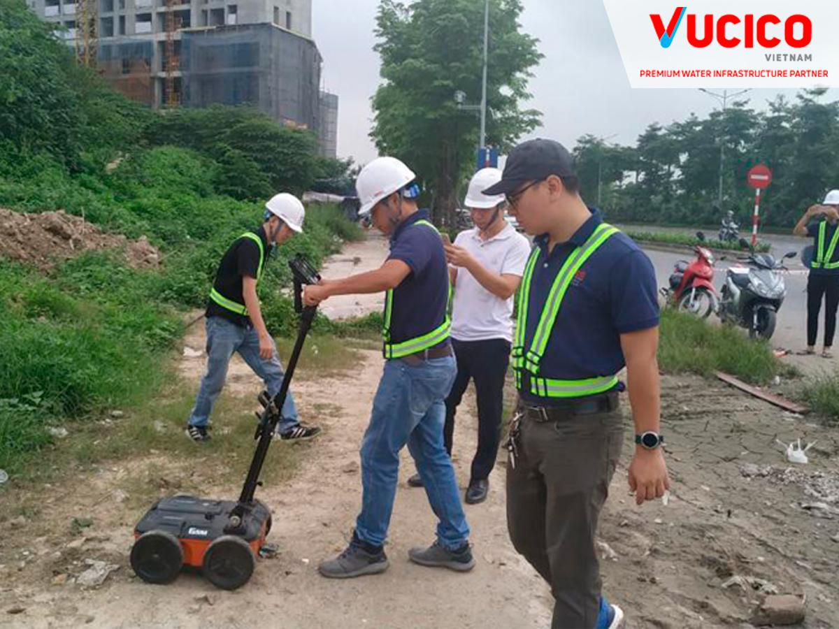
The scope of survey is to scan the entire surface of the dam, which will be conducted over the course of several years. Some work can only be done when the water in the Reservoir drops to a low enough level for the specialist to walk across the surface of the dam, which is often flooded when the reservoir is full.

RESULT:
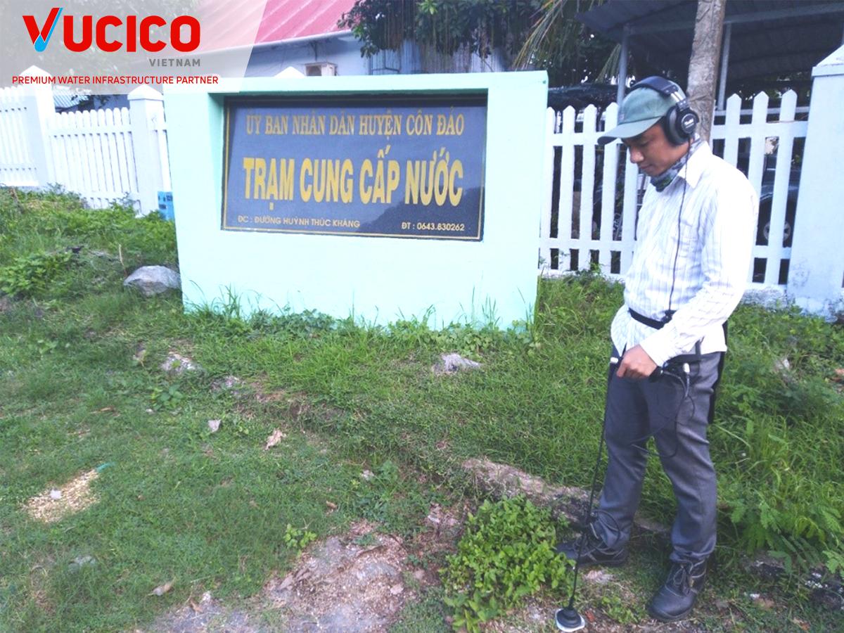
An SIR® 30 system and a 900 MHz antenna were used in the early stages of the investigation to locate any areas of the dam where the vulnerability would appear. Any identified gaps will be repaired by pumping concrete through a borehole. The challenge in the investigation is not to damage or destroy existing reinforcement in the structure.

Later, StructScan ™ Mini XT was used to accurately detect the survey area in need of repair by examining reinforcement locations and marking a safe area for drilling.

Image of location parameters for empty points and reinforcement points on the dam
SYSTEMS USED:
• SIR® 30
• 900 MHz antenna
• RADAN® software 7
• StructureScan ™ Mini XT